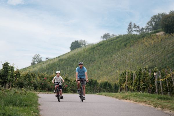
© Carlo Rinnen, Visit Luxembourg
Mosel Germany France

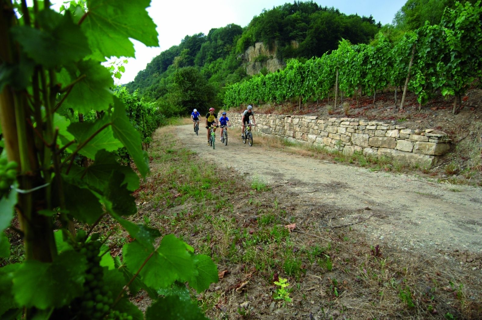
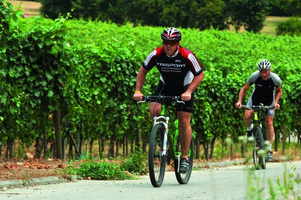
Mountainbike Trail Manternach

Hunting Season 2024/25 — Check for hunts before hiking

Autumn is here, and that means hunting season has begun! From mid-October to January/February, hunters are active across the country. Stay safe by checking hunt dates in your area on our Map. 

Click on Map in the Header > Services > More > Hunting.

Starting point
"A Wiewesch" 12, Syrdallstrooss L- 6850 Manternach
Destination
"A Wiewesch" 12, Syrdallstrooss L- 6850 Manternach
Distance
17,72 km
Duration
1:48 h
Difficulty
medium
  • Condition
Highest point
321 Hm
Lowest point
139 Hm
Aggregated Ascent
401 Hm
Aggregated Descent
401 Hm
MTB Visit Luxembourg

Description

Mountainbike Trail Manternach

MTB trail Manternach

Start: "A Wiewesch" Manternach

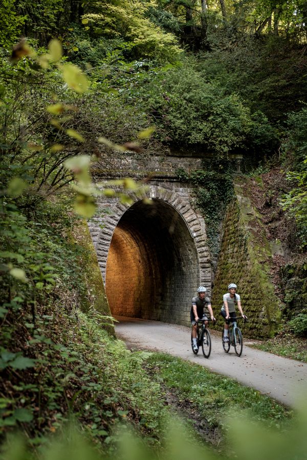
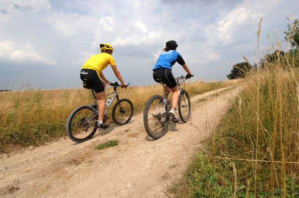
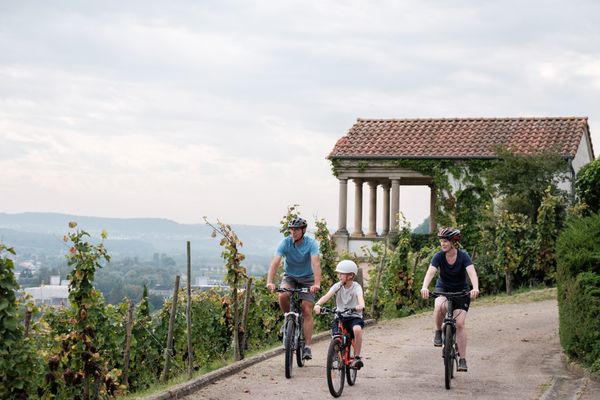
This cycle route is sheer romance for lovers of nature, rivers and hills. Breathe deeply and fill your lungs with the freshest air, far away from any pollution. Your voyage across the Moselle and the Syre valleys is the ideal way to get back to nature and discover some of the most beautiful countryside in Luxembourg.

It may interest you to know that a large part of the forest is protected by a conservation programme: the Naturbësch project. The objective of the programme is to create a nationwide network of integral forest reserves (RFI) which are voluntarily excluded from any form of exploitation in order to preserve their natural state – for the forests and for you! And it’s not just conservation - projects such as this are designed to help stimulate biological diversity. To find out more about it, you should pass by the reception centre, A Wiewesch, which records the whole history of rural life. This meeting point is also the start-point for several storytelling routes through the countryside.

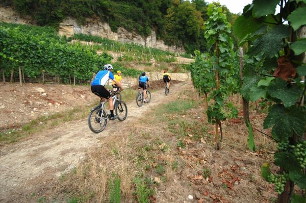
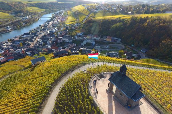
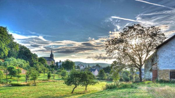
This route revolves around wonderfully picturesque village of Manternach, which dates all the way back to Celtic times. The village lies in the peaceful calm of a natural valley, sheltered from the wind, and sandwiched on one side by vine-tapestried hills, while on the other side are the gorges and dense woodland of the Syre.

Suggestions nearby

Mountainbike Trail Manternach

  • © Pancake! Photographie
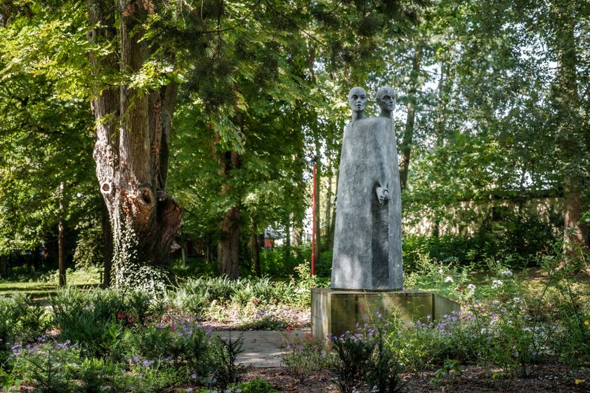
    Nature reserve "Manternacher Fiels" - A Wiewesch
    Nature reserve "Manternacher Fiels" - A Wiewesch
    Find out more
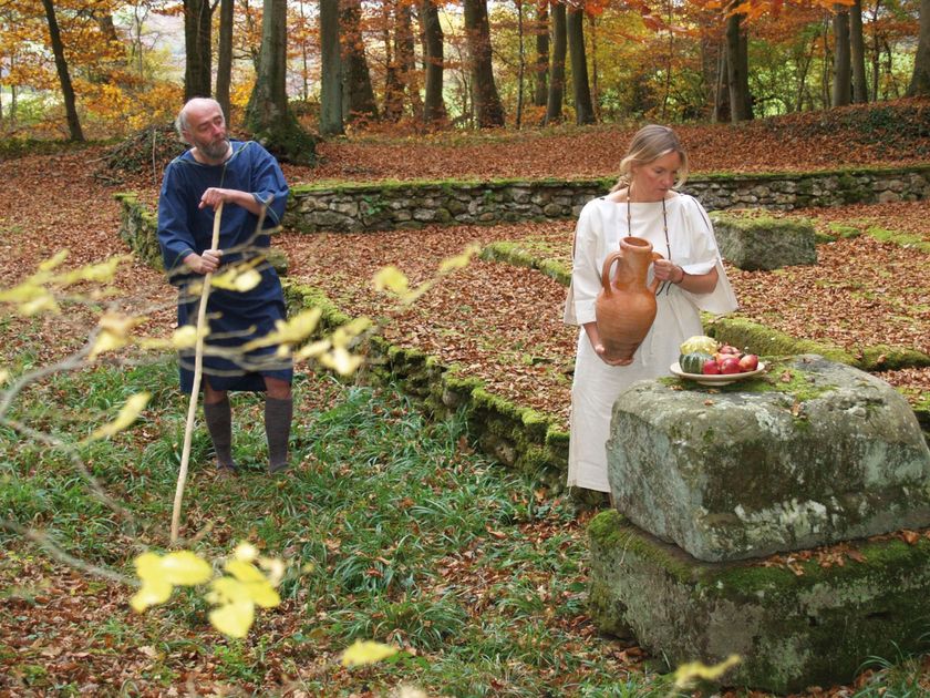
  • "Gallo-Roman site" Lellig
    Remains of a Gallo-Roman funeral enclosure
    Find out more
  • Mertert Parc
    Idyllic parc at the Moselle.
    Find out more

Similar biking tours

© Carlo Rinnen, Visit Luxembourg
MTB
Mountainbike Trail Greiveldange
Distance: 22,04 km
Duration: 2:13 h
Difficulty: medium
Find out more
© ORT MPSL/Pancake! Photographie, ORT MPSL/Pancake! Photographie
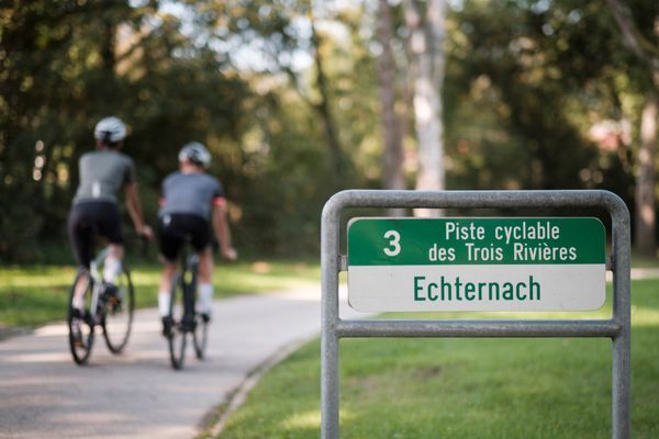
Cycle path des Trois Rivières (PC 3)
Distance: 90,27 km
Duration: 7:00 h
Difficulty: medium
Find out more
© Carlo Rinnen, Visit Luxembourg
MTB
Mountainbike Trail Wormeldange
Distance: 24,32 km
Duration: 2:25 h
Difficulty: medium
Find out more
© Carlo Rinnen, Visit Luxembourg
MTB
Mountainbike Trail Grevenmacher
Distance: 14,42 km
Duration: 1:28 h
Difficulty: medium
Find out more
© Visit Moselle
MTB
Mountainbike Trail Dalheim
Distance: 23,23 km
Duration: 2:05 h
Difficulty: medium
Find out more
© Visit Luxembourg
Cycle path de la Syre (PC 4)
Distance: 20,90 km
Duration: 1:30 h
Difficulty: medium
Find out more
© Visit Luxembourg
Cycling Tours
Velo Romanum
Distance: 36,75 km
Duration: 2:50 h
Difficulty: medium
Find out more
© Visit Luxembourg
Cycling Tours
Velo Vinum
Distance: 16,33 km
Duration: 1:20 h
Difficulty: medium
Find out more
© ORT MPSL/Pancake!, Visit Luxembourg
Cycling Tours
Cycle tour "VeloRoute SaarLorLux"
Distance: 496,14 km
Duration: 36:59 h
Difficulty: medium
Find out more