© Commune de Stadtbredimus, Visit Luxembourg
Mosel Germany France

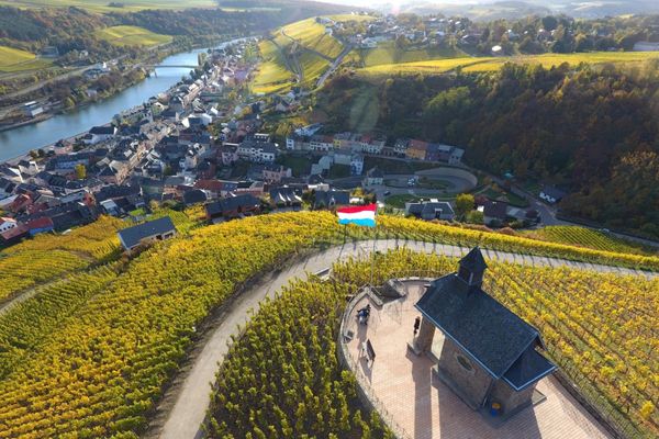
Circular walk "Wine, KulTour & Scenery in the Pure State"

Hunting Season 2024/25 — Check for hunts before hiking

Autumn is here, and that means hunting season has begun! From mid-October to January/February, hunters are active across the country. Stay safe by checking hunt dates in your area on our Map. 

Click on Map in the Header > Services > More > Hunting.

Starting point
op der Baach 4 L-5426 Greiveldange
Destination
op der Baach 4 L-5426 Greiveldange
Distance
6,85 km
Duration
1:55 h
Difficulty
medium
  • Condition
Highest point
231 Hm
Lowest point
164 Hm
Aggregated Ascent
127 Hm
Aggregated Descent
127 Hm
Visit Luxembourg

Description

Circular walk "Wine, KulTour & Scenery in the Pure State"

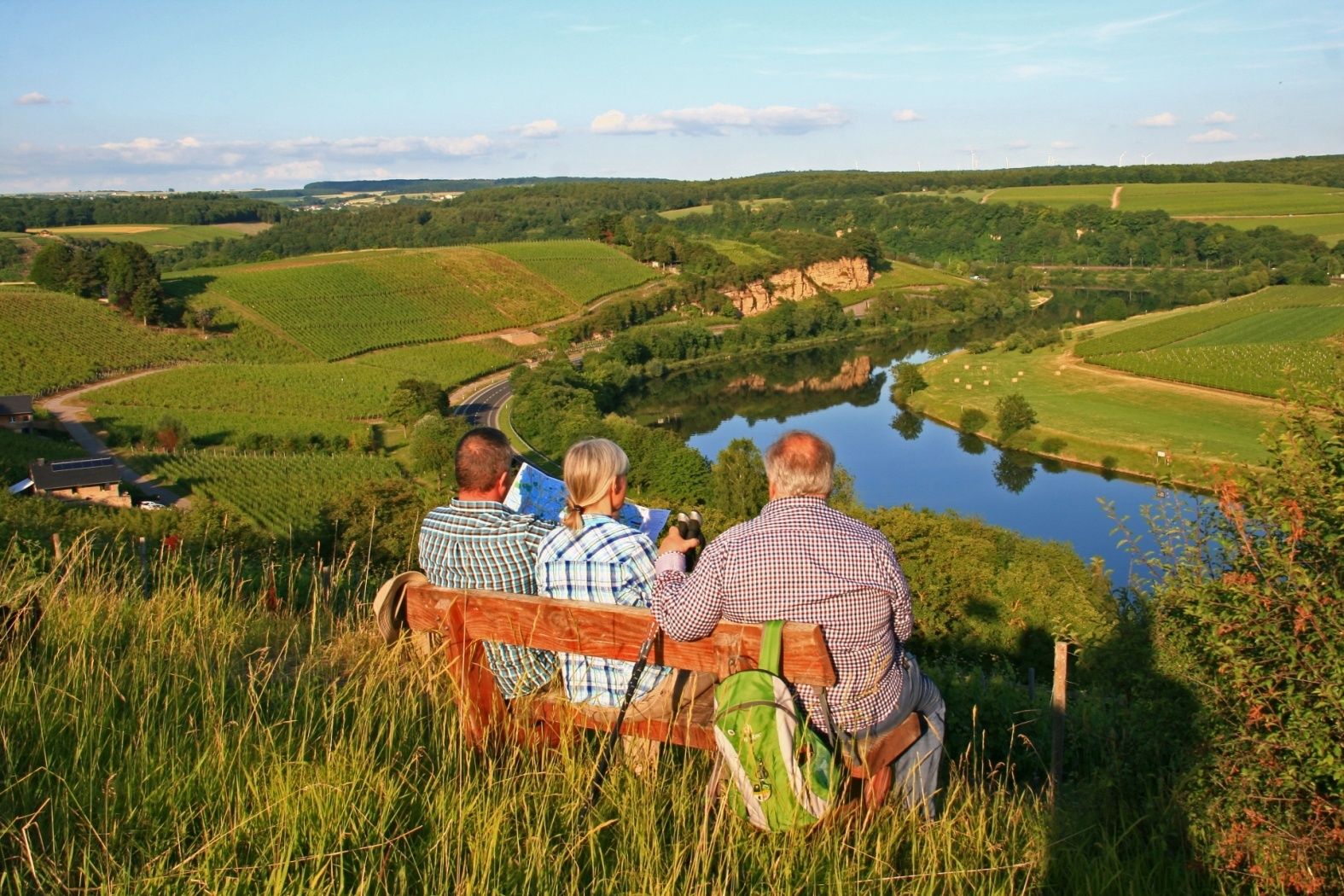
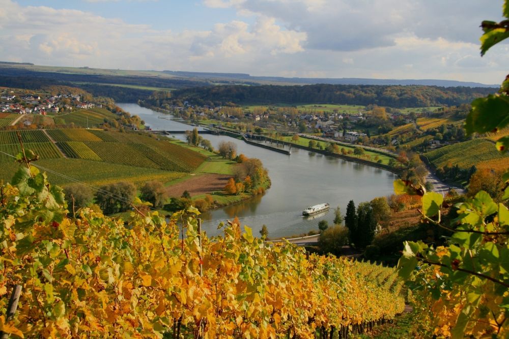
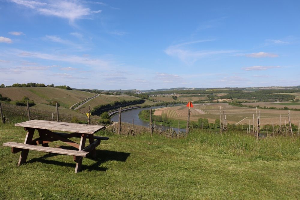
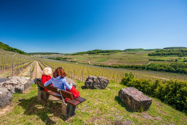
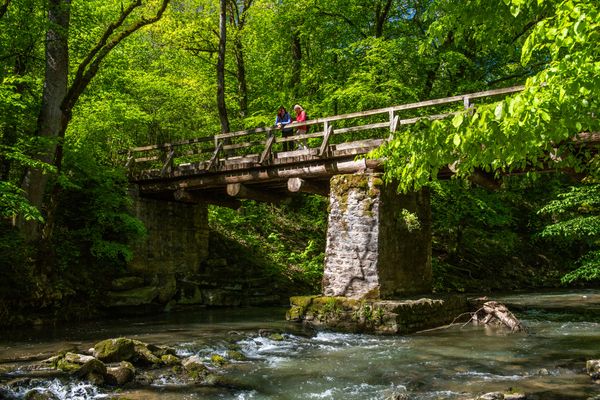
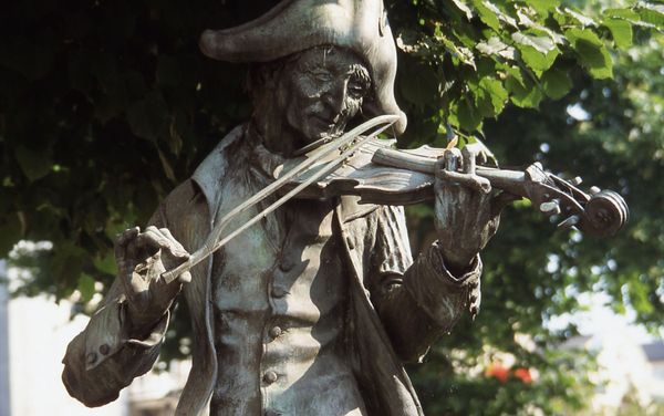
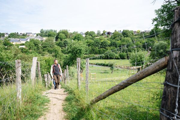
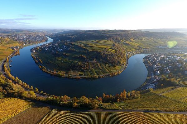
16 displays provide information about the cultural history of the area i.a. lime kilns and the arrangement of houses in a concentric village. Furthermore, one learns fascinating facts about winegrowing. Unique views of the vineyard slops and the limestone formations of the Mosel valley make this tour into a terrific experience.

Please make sure to enable your Cookies in case you don't see this content.

Suggestions nearby

Circular walk "Wine, KulTour & Scenery in the Pure State"

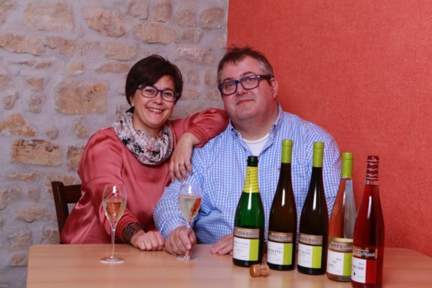
  • © Domaine Viticole Stronck-Pinnel
    Domaine Viticole Stronck-Pinnel
    Domaine Viticole Stronck-Pinnel
    Find out more

Similar hiking tours

© © Wanderbüro Saar-Hunsrück, Klaus-Peter Kappest, Unknown
Dream loops
Traumschleife Wein- und Naturpfad Palmberg
Distance: 9,03 km
Duration: 2:50 h
Difficulty: medium
Find out more
© Visit Luxembourg
Manternach-Lellig
Distance: 7,42 km
Duration: 2:10 h
Difficulty: medium
Find out more
© Visit Luxembourg
Circular routes
Auto-pédestre trail Grevenmacher
Distance: 8,02 km
Duration: 2:20 h
Difficulty: medium
Find out more
© Paul Hilbert, Visit Luxembourg
Circular routes
Auto-pédestre trail Stadtbredimus
Distance: 12,12 km
Duration: 3:18 h
Difficulty: medium
Find out more
© Visit Luxembourg
Circular routes
Auto-pédestre trail Wellenstein
Distance: 8,12 km
Duration: 2:15 h
Difficulty: medium
Find out more
© Carlo Rinnen, Visit Luxembourg
Circular routes
Auto-pédestre trail Wormeldange
Distance: 7,05 km
Duration: 2:05 h
Difficulty: medium
Find out more
© Visit Luxembourg
Distance trails
National hiking trail "Moselle"
Distance: 59,68 km
Duration: 16:50 h
Difficulty: medium
Find out more
© Visit Luxembourg
Distance trails
43 Station to station Manternach - Mertert - Wasserbillig
Distance: 11,29 km
Duration: 3:15 h
Difficulty: medium
Find out more
© Visit Luxembourg
Distance trails
National hiking trail "Schengen-Hellange"
Distance: 25,65 km
Duration: 6:55 h
Difficulty: medium
Find out more