Circular routes Visit Luxembourg
Description
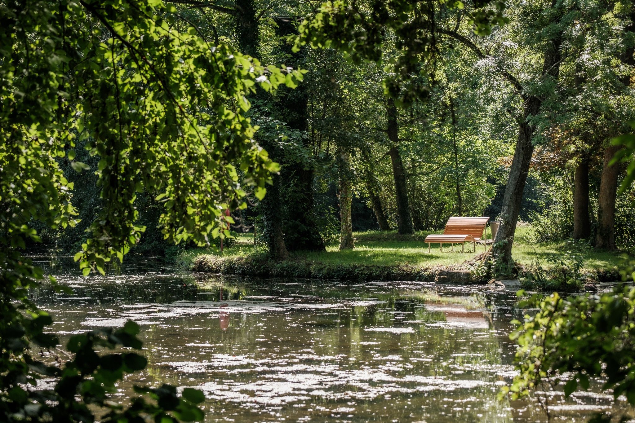
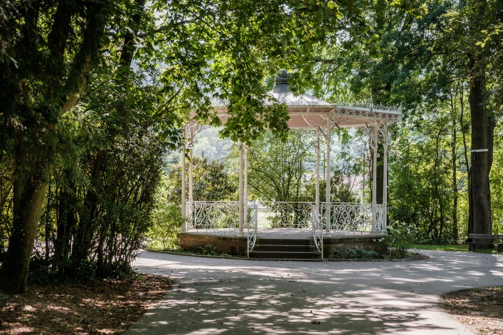
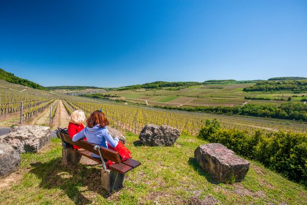
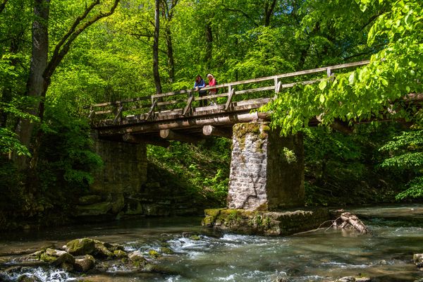
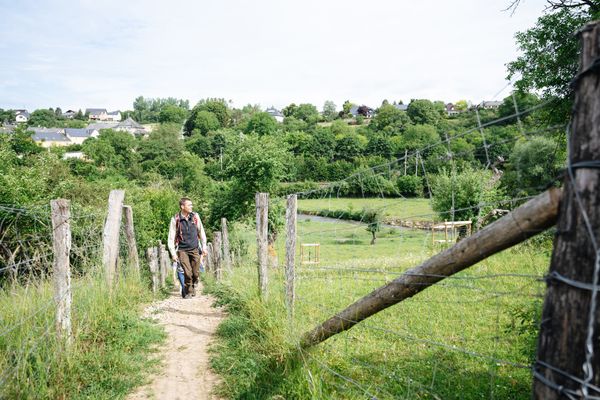
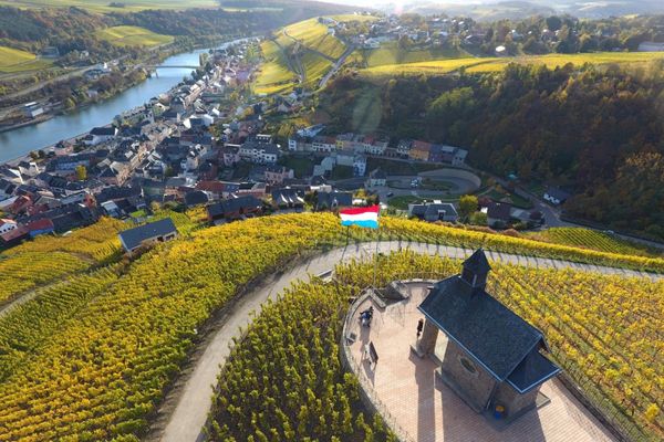
This varied and quite demanding hike offers several opportunities to enjoy the magnificent natural landscape.
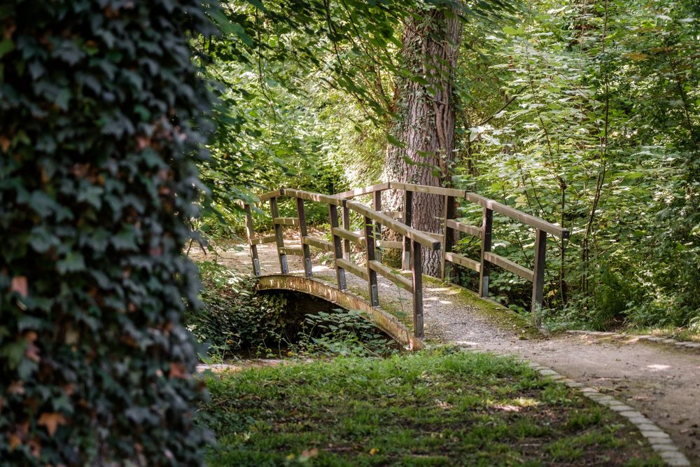
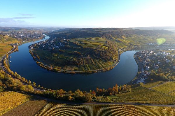
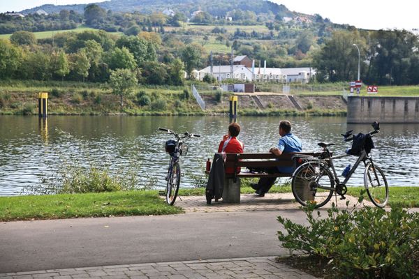
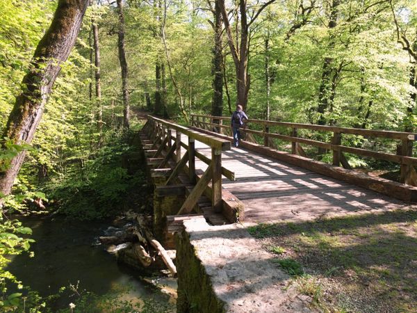
We go across the park and cross the Syre shortly before its junction with the Moselle, which we follow upstream. We walk under the railway bridge to the other side of the river. We go through the forest to the Schlammbaach valley, which we follow. We climb up the Schlaufëls and return to Mertert via the national footpath "Sentier de la Moselle".
Signposting
Directions
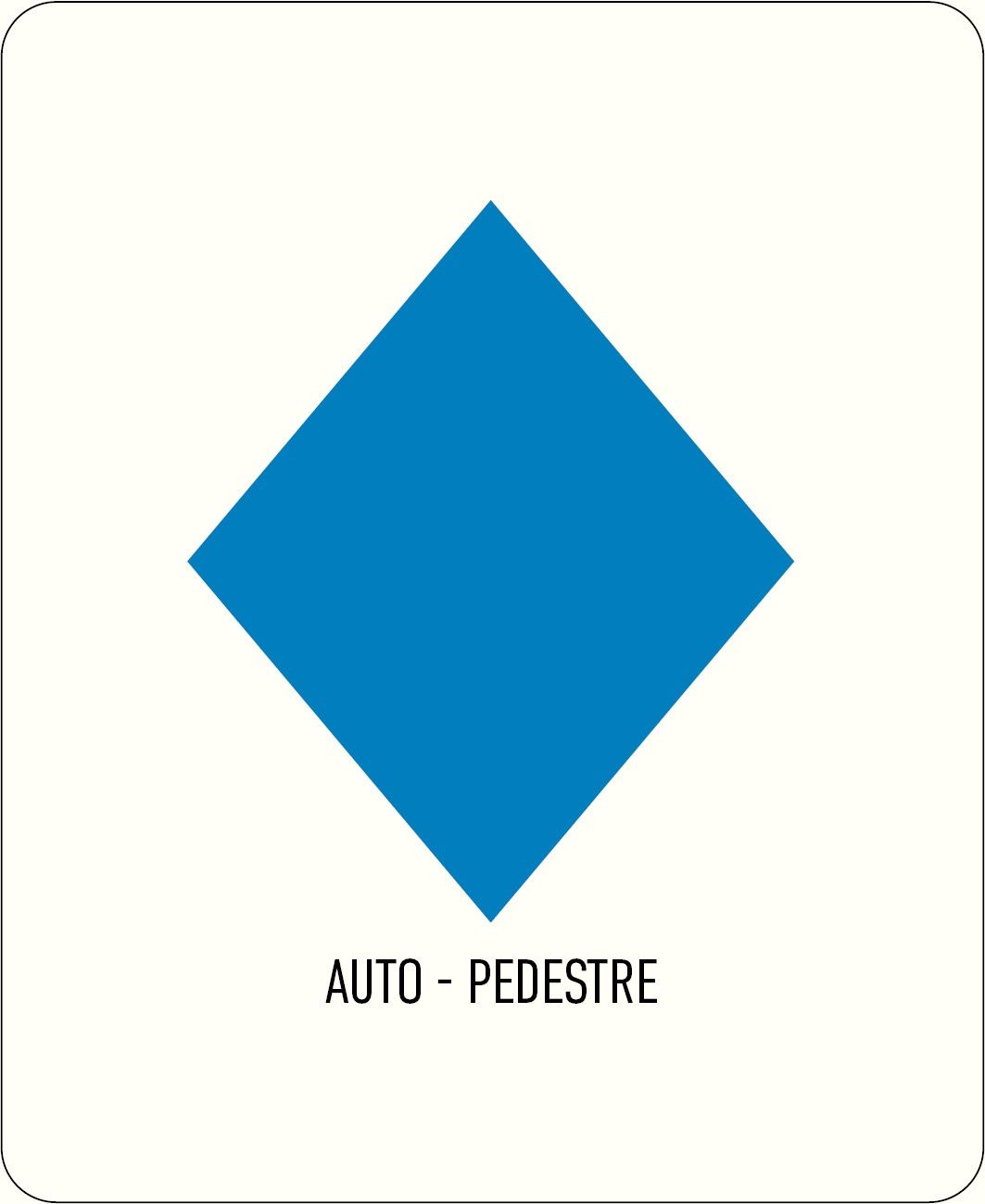
Please follow the signposts with the blue diamond on white background, the trail is signposted in both directions.
Journey
Public transport: The next bus station is: Mertert, Parc
Parking: Parking Rue du Parc
By train: Mertert, Gare
Parking: Parking Rue du Parc


 This website uses technology and content from the Outdooractive Platform.